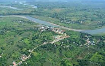
Cagayan River Basin (Editor’s Note: The photo used is from the files of riverbasin.denr.gov.ph)
MANILA – The expected rise of water at the Lower Cagayan River (LCR) to a new record-high level in the aftermath of Typhoon Ulysses (international name Vamco) may further cause flooding in communities near the waterway and its tributaries that include the Pinacanauan de Tuguegarao, Chico, Pared, and Dummun Rivers.
Communities in these areas must prepare for possible flooding this weekend or afterwards as the river's water level in Tuguegarao City already rose to 12.7 meters -- surpassing the 11-meter high critical level and equaling its 2010 record water elevation, according to Leo Buñag, chief of the Cagayan River Basin Flood Forecasting and Warning Center.
"That level will rise further as Cagayan River continues receiving excess water of Magat Dam and runoff from Sierra Madre and Cordillera mountain ranges," he said.
Magat has been releasing excess water to help ensure the dam's structural integrity.
LCR is the downstream portion of Region II's Cagayan River, the largest river in the Philippines.
The mouth of Cagayan River is in Cagayan province's Aparri municipality bordering Babuyan Channel.
Water in Cagayan River's upper portion already began receding, Buñag noted.
He expects water in the river's middle portion to begin receding after reaching peak level around Friday noon.
LCR's water may rise to its peak level so far either on Friday night (Nov. 13) or early Saturday morning (Nov. 14) then begin receding as well, he continued.
"It'll be a slow recession, however," he clarified.
Waves in rough waters off Aparri as well as tidal action there are making it difficult for LCR to discharge water into the Babuyan Channel, he noted.
Because of such difficulty, he said flooding will still hound the vicinity of LCR and its tributaries even if "Ulysses" already moved away from the country.
Philippine Atmospheric, Geophysical and Astronomical Services Administration (PAGASA) forecast light to moderate rain until Saturday in Region II due to the tail-end of a cold front.
"Thunderstorms may bring heavy rainfall there," said PAGASA weather forecaster Jun Galang.
Buñag doesn't expect soil in Region II to immediately absorb new rain. "Soil there is very saturated already so flooding is happening," he said.
Rain from "Ulysses" and other tropical cyclones since October this year caused such saturation, he noted.
In its 11 a.m. severe weather bulletin on Friday, PAGASA located "Ulysses" outside the Philippine Area of Responsibility at 500 km west of Zambales province's Iba municipality.
"Ulysses" is moving west-northwestward at 10 kph with maximum sustained winds of 120 kph near the center and gustiness of up to 150 kph, said PAGASA.
It expects "Ulysses" to move towards the central portion of Vietnam. (PNA)
