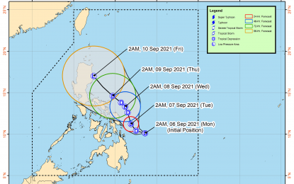
Track of Tropical Depression Jolina (Image grabbed from PAGASA's Facebook page)
MANILA – The low pressure area (LPA) east of Surigao del Norte has developed into Tropical Depression (TD) Jolina on Monday, as the weather bureau hoisted tropical cyclone warning signals in several areas.
In its 5 a.m. tropical cyclone bulletin, the Philippine Atmospheric, Geophysical and Astronomical Services Administration (PAGASA) said the TD packs maximum sustained winds of 45 kilometers per hour (kph) near the center and gustiness of up to 55 kph. It was last tracked 300 km. east southeast of Guiuan, Eastern Samar, or 310 km. east of Surigao City, Surigao del Norte.
Tropical cyclone wind signal (TCWS) no. 1 has been hoisted over Eastern Samar, Dinagat Islands, Siargao Islands, and Bucas Grande Islands.
These areas, including Surigao del Norte, may experience moderate to heavy rains.
Isolated to scattered flash flooding, rain-induced landslides are possible, especially in areas susceptible to these hazards.
Areas under TCWS no. will also experience strong breeze to near gale conditions with occasional gusts.
The TD may cause moderate to rough seas over the eastern seaboards of the Visayas and Mindanao. PAGASA advised mariners of small seacraft to take precautionary measures when venturing out to the sea.
Jolina is forecast to remain a tropical depression until its potential landfall over northern Luzon on Friday, when it is forecast to weaken into an LPA. (PNA)
