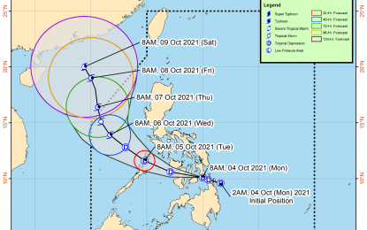
(Image grabbed from PAGASA's Facebook page)
MANILA – Tropical Depression (TD) Lannie is forecast to make more landfalls, the weather bureau said on Monday afternoon.
"Inaasahan dahil dadaan sa gitnang bahagi ng Visayas ang bagyo, may multiple landfalls ang mangyayari (We expect multiple landfalls as the tropical depression will pass through the central part of the Visayas)," weather forecaster Ariel Rojas of the Philippine Atmospheric, Geophysical and Astronomical Services Administration (PAGASA) said.
"Lannie" already made four landfalls, according to Rojas. These were in Bucas Grande Island in Surigao del Norte; Cagdianao, Dinagat Islands; Liloan, Southern Leyte; and Padre Burgos, Southern Leyte.
The TD was last tracked over the coastal waters of Maasin City, Southern Leyte, and is heading towards Camotes Sea. It packs maximum sustained winds of 45 kph near the center, and gustiness of up to 55 kph.
"Most of southern Luzon, the Visayas, and Mindanao will experience rains. Floods and landslides are possible," Rojas said.
PAGASA forecast moderate to heavy, with at times intense rains to continue over the Visayas, Mimaropa, Albay, Sorsogon, Masbate including Ticao and Burias Islands, and Dinagat Islands.
Light to moderate, with at times heavy rains will still prevail over Calabarzon and the rest of Bicol Region and Mindanao.
Tropical Cyclone Wind Signal (TCWS) No. 1 remains hoisted over the southern portion of Masbate (Pio V. Corpuz, Cataingan, Palanas, Dimasalang, Uson, Mobo, Milagros, Mandaon, Esperanza, Placer, Cawayan, Balud), the southern portion of Romblon (Cajidiocan, San Fernando, Magdiwang, Santa Maria, Odiongan, Alcantara, Ferrol, Looc, Santa Fe, San Jose), the southern portion of Oriental Mindoro (Roxas, Mansalay, Bulalacao, Bongabong), the southern portion of Occidental Mindoro (Sablayan, Calintaan, Rizal, San Jose, Magsaysay), and the northern portion of Palawan (El Nido, Taytay, Dumaran, Araceli) including Calamian and Cuyo Islands.
Also under TCWS No. 1 are Eastern Samar, Samar, Biliran, Leyte, Southern Leyte, Capiz, Aklan, Antique, Iloilo, Guimaras, Negros Occidental, the northern and central portions of Negros Oriental (Bais City, Mabinay, City of Bayawan, Basay, City of Tanjay, Manjuyod, Bindoy, Ayungon, Tayasan, Jimalalud, La Libertad, City of Guihulngan, Vallehermoso, Canlaon City), Cebu, and Bohol; Surigao del Norte, Dinagat Islands, the northern portion of Agusan del Norte (Magallanes, Remedios T. Romualdez, City of Cabadbaran, Tubay, Santiago, Jabonga, Kitcharao, Butuan City), and Camiguin.
Strong breeze to near gale conditions, and occasional gusts will be experienced over these areas.
"Lannie" will continue to cause moderate to rough seas over the coastal waters of the country, especially in areas where TCWS No. 1 has been hoisted.
PAGASA advised mariners to take precautionary measures when venturing out to the sea. (PNA)
