(File photo)
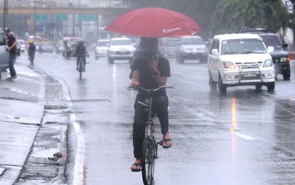
MANILA – A huge part of Mindanao will experience rains caused by the low pressure area (LPA) embedded along the intertropical convergence zone (ITCZ) affecting the island, the weather bureau said Thursday.
The LPA, last tracked 490 kilometers east of Davao City, has a slim chance of developing into a tropical cyclone, according to Grace Castañeda of the Philippine Atmospheric, Geophysical and Astronomical Services Administration (PAGASA).
Caraga, Davao Region, BARMM, and Soccsksargen will have cloudy skies with scattered rain showers and thunderstorms due to the LPA and ITCZ.
"Be alert against possible flooding and landslides," Castañeda said.
The rest of Mindanao, and the Visayas will have fair weather with isolated rains due to localized thunderstorms.
The temperature may reach up to 33 °C in Zamboanga; up to 32 °C in Iloilo, Tacloban, Cebu, Cagayan de Oro and Davao.
Castañeda said Luzon would also experience fair weather, warm and humid, especially at noon.
"Limit outdoor activities. If going outdoors cannot be prevented, don't forget to bring sun protection, drink water and wear light clothes," she advised.
Isolated rains are likely in the afternoon or evening due to the easterlies and localized thunderstorms.
Up to 35 °C temperature is expected in Tuguegarao; 34 °C in Metro Manila; and up to 33 °C in Laoag and Legazpi.
Light to moderate winds and slight to moderate seas will continue to prevail over the entire archipelago. (PNA)
