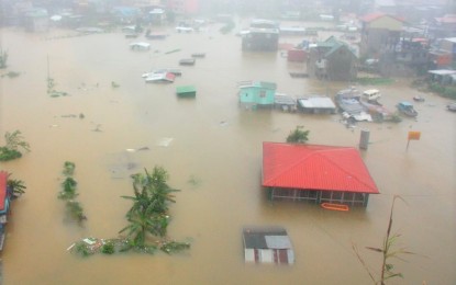
FLOODS. The Baguio City Camp Lagoon is submerged in flood in this undated photo. The city government on Tuesday (July 12, 2022) said it has started its disaster preparedness efforts as the rainy season is expected to bring heavy rains. (PNA file photo)
BAGUIO CITY – The city government on Tuesday urged barangay officials to immediately report anything that may cause harm to life or property, especially during typhoons and heavy downpours brought by the rainy season.
The National Disaster Risk Reduction and Management Council (NDRRMC) also on Tuesday estimated P16.6 million in damage to agriculture due to recent floods and landslides in Benguet Province.
City information officer Aileen Refuerzo said the call was made by the Special Services Division of the mayor’s office as part of the city's flood management initiative.
Barangay officials were told to report hanging wires, clogged or overflowing canals, dead trees, and dangling branches caused by heavy downpours in their respective jurisdictions.
Residents have also been urged to observe proper waste disposal as garbage contributes to the clogging of canals and other tributaries causing flooding.
She said the city historically experiences heavy rains that last for weeks during the rainy season.
The city also conducts regular weather monitoring, pre-disaster risk assessment, and waterway cleanup.
The official also reminded residents to join "Denguerra" (war against dengue), the city's mass cleanup activity every Thursday against dengue-carrying mosquitoes.
For the city's disaster preparation program, Refuerzo said the city is using data gathered in a disaster risk assessment of the city by foreign experts from the United States and Denmark, as well as the Asian Development Bank, last June.
The assessment report included a geographic information system (GIS) mapping that the city disaster risk reduction management office can utilize. (PNA)
