(PNA file photo)
MANILA – The trough of Severe Tropical Storm (STS) Inday will bring rains over parts of Luzon and the Visayas, the weather bureau said Friday afternoon.
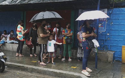
Scattered rains and thunderstorms are forecast over Mimaropa, Bicol Region, and Western Visayas, as well as the provinces of Northern Samar and Quezon.
These areas may experience flash floods or landslides due to moderate to at times heavy rains, the Philippine Atmospheric, Geophysical and Astronomical Services Administration (PAGASA) said.
"Inday" has intensified and is now packing maximum sustained winds of 100 kph near the center and gustiness of up to 125 kph and could possibly reach the typhoon category within 24 hours. However, PAGASA said the hoisting of a tropical cyclone wind signal is still unlikely.
The STS was last tracked 720 km. east of Aparri, Cagayan, or 730 km. east of Calayan, Cagayan. It is forecast to exit the Philippine Area of Responsibility early next week.
Meanwhile, Metro Manila and the rest of the country will continue to experience isolated rain showers caused by localized thunderstorms.
Light to moderate winds and slight to moderate seas also continue to prevail over the entire archipelago.
PAGASA said "Inday" may cause moderate to rough seas over the seaboards of Batanes and Babuyan Islands beginning mid- to late Saturday. These conditions may be risky for those using small seacraft.
The weather bureau advised mariners to monitor updates and take precautionary measures when venturing out to the sea. (PNA)
