(File photo)
MANILA – Some parts of the country will get dampened with rain showers caused by a low pressure area (LPA), while Tropical Depression (TD) Luis is about to exit the Philippine Area of Responsibility (PAR), the weather bureau reported Thursday.
The LPA was last tracked 335 kilometers east of Guiuan, Eastern Samar.
"It has a slim chance to develop into a tropical cyclone, and it could possibly dissipate in the next 24 hours," said Philippine Atmospheric, Geophysical and Astronomical Services Administration (PAGASA) forecaster Benison Estareja.
The LPA will cause scattered rain showers and thunderstorms over Eastern Visayas, Caraga, and Bohol.
Flash floods or landslides are likely in these areas due to moderate to at times heavy rains.
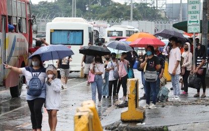
The rest of the country will experience isolated rain showers caused by localized thunderstorms.
Meanwhile, "Luis" was last tracked 1,090 km. east northeast of extreme northern Luzon, moving northward at 20 kms. per hour.
"It has intensified but is still unlikely to affect the country's weather condition, and 'Luis' is about to exit PAR," Estareja said.
Light to moderate winds and slight to moderate seas will prevail over the entire archipelago. (PNA)
