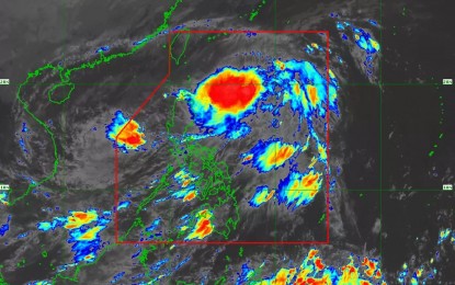
MANILA – Tropical Storm Rolly (international name: Goni) is forecast to exit the Philippine Area of Responsibility (PAR) on Tuesday, the weather bureau said in its 11 a.m. bulletin.
"Rolly" packs maximum sustained winds of 65 kilometers per hour (kph) near the center and gustiness of up to 80 kph. It was last tracked 195 kilometers (km) west of Subic, Zambales, moving westward at 20 kph.
All tropical cyclone wind signals raised in the country were already lifted. However, occasional gusts may be experienced over Batanes, Babuyan Islands, Ilocos Region, Cordillera Administrative Region, and the northern portions of mainland Cagayan and Zambales.
Meanwhile, Tropical Storm Siony, last seen 620 km. east of Aparri, Cagayan, will bring light to moderate with at times heavy rains over Batanes, Cagayan, and Isabela.
"Siony" is moving west northwest at 40 kph. However, it is expected to slow down and become almost stationary starting Tuesday morning.
PAGASA weather specialist Ana Clauren said tropical cyclone wind signals may be hoisted over some areas in Cagayan Valley starting Wednesday as "Siony" is seen to intensify into a severe tropical storm.
The Philippine Atmospheric, Geophysical and Astronomical Services Administration (PAGASA) forecast rough to very rough seas over the seaboards of Northern Luzon, and the western seaboards of Central Luzon.
Moderate to rough seas will prevail over the remaining seaboards of Luzon and the eastern seaboards of Visayas and Mindanao. (PNA)
