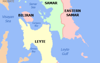
MANILA – Trough of a low-pressure area (LPA) east of Mindanao may prolong rising risk for flooding and landslides in Eastern Visayas.
Such trough can bring to Eastern Visayas this Friday and Saturday rain showers that may trigger such events, noted Philippine Atmospheric, Geophysical and Astronomical Services Administration (PAGASA) weather forecaster Ana Clauren.
"It'll likely be rainy there then," she said.
She urged caution, noting the entire Visayas may also experience rain until Thursday (Feb. 18) due to tail-end of frontal system (TEFS).
TEFS rainfall can raise flooding and landslide risk there.
The rising risk may persist in Eastern Visayas due to the trough's expected rain in the region.
In its daily weather forecast on Tuesday, PAGASA said TEFS can bring to the Visayas and Mindanao cloudy skies with scattered rain showers and thunderstorms.
Some of those thunderstorms may have moderate with at times heavy rainfall that can trigger either flash floods or landslides, noted PAGASA.
Clauren said weather in Mindanao may begin improving on Wednesday (Feb. 17) although it may still experience some localized thunderstorms.
Weather will also improve after Thursday in the Visayas except Eastern Visayas, she continued.
She said Eastern Visayas may experience, from the LPA's trough, weather conditions like those that TEFS can bring to the Visayas and Mindanao this week.
According to Clauren, the LPA will likely enter Philippine Area of Responsibility (PAR) on Wednesday.
She isn't discounting the possibility of such LPA intensifying into a tropical cyclone, noting this weather system is still over Pacific waters. (PNA)
