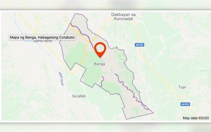
Google map of Banga town, South Cotabato
GENERAL SANTOS CITY – The Mines and Geosciences Bureau (MGB) in Region 12 cautioned residents of possible hazards due to the reported forming of an “artificial dam” in an upland village in Banga town, South Cotabato.
Ariel Austin Acosta, MGB-12 supervising geologist, said on Friday they are closely monitoring the situation in Barangay Lambingin, Banga due to the impounding of water at a mountainous portion of the area.
He said the situation was triggered by landslide damming, with water filling the site due to the rains in the past several weeks.
The area is at the border of Barangays Lambingi and Lampari in Banga, and Lunen in Tupi town, he said.
“The (potential) hazard is flash flood or debris flow that could affect the low-lying areas,” he said in an interview over radio station Bombo Radyo.
Acosta said they already requested additional information from the Banga Municipal Disaster Risk Reduction and Management Office (MDRRMO), which sent a team to the site early Friday to conduct an assessment.
Joseph Franco, Banga MDRRMO head, his office received a “distress call” from village officials on Thursday regarding the situation.
He said an upland lake reportedly appeared to have formed due to the impounding of water in an area jammed by two mountains.
“It can be a potential disaster if the artificial dam gives way as there are about 500 individuals situated at the lower portion of the site,” he said.
Franco said the impounded water covers around 500 meters in diameter and deep as relayed by concerned residents and officials.
He said residents reportedly tried to measure its depth through a bamboo pole but it did not reach the bottom.
He the site is about three kilometers away from Purok Sakam of Sitio Langtabongbong in Lambingi. (PNA)
