(Image courtesy of DOST)
MANILA – With the goal of giving a preview of outer space, the Advanced Science and Technology Institute (ASTI) on Wednesday launched the free virtual reality simulation (VRS) app, available on Google Play Store.
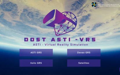
The DOST-ASTI VRS app features a comprehensive computer-generated simulation of ASTI's ground receiving stations (GRS) in Metro Manila, Davao City and Iloilo. It also includes a satellite showcase where users can learn about the Filipino-made Diwata and Maya satellite, as well as the different commercial satellites the Philippine Earth Data Resource and Observation (PEDRO) Center subscribes to.
The app development would enable the public to still explore the GRS, as facility tours cannot be done amid the coronavirus disease 2019 (Covid-19) pandemic.
"This is our creative attempt to bring space closer to the Filipinos. The interactive tour will let them explore the three GRS, and the locally-made satellites, all by using the app," Department of Science and Technology (DOST) Secretary Fortunato de la Peña said during the launch.
He added that the app will help the public get a bigger picture of the potentials of space technology.
"We hope that this would help raise public awareness and inspire everyone, especially the youth to take interest and grow an appreciation for space science research," he said.
The country's first GRS in Quezon City houses a 3.7-meter earth observation (EO) satellite tracking antenna. The second GRS, inaugurated in 2019 in Davao City houses a 7.3-meter EO satellite tracking antenna. The one Iloilo City is still under construction and will house a 3.5-meter EO satellite tracking antenna, according to ASTI.
The app also showcases PEDRO Center’s operations such as transmitting, receiving and processing of data to and from the satellites.
PEDRO Center oversees the GRS facilities, including satellite tracking antennas that receive, process and distribute satellite images and other space-borne data that can be used for environmental monitoring and maritime surveillance. (PNA)
