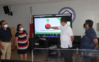
LAND USE SYSTEM. Department of Human Settlements and Urban Development (DHSUD) Secretary Eduardo del Rosario (center) leads the launch of Land Use and Zoning Information System (LUZIS) at its Central Office in Quezon City during its third founding anniversary celebration on Tuesday (Feb. 15, 2022). Del Rosario described the official rollout of LUZIS as "another monumental step towards a transparent, efficient, and data-driven DHSUD." (Photo courtesy of DHSUD)
MANILA – The Department of Human Settlements and Urban Development (DHSUD) officially rolled out the Land Use and Zoning Information System (LUZIS) integrated with its housing operations.
The DHSUD's LUZIS is an operational geo-information technology system for data archiving, monitoring, and information modeling.
In a statement Thursday, DHSUD Secretary Eduardo del Rosario said the system is crucial to the government's goal of pushing transparent, efficient, and data-driven operations within the housing sector.
"As we focus on providing access to decent, affordable, resilient, and sustainable housing communities to all Filipinos, let us bear in mind the significance of data in effective planning, as part of our pledge to pursue excellence in governance,” del Rosario said, noting that the web-based mapping system will provide information on land use plan formulation and implementation in the country.
With the use of this system, del Rosario said DHSUD can now push more improved and organized monitoring of its Comprehensive Land Use Plan (CLUP), project developments, as well as programs for homeowner's associations.
“Let us embody our vision to become a strong institution and catalyst for the provision of inclusive human settlements by using data through LUZIS. Let us join hands as we strive for an effective and efficient public service,” he said.
The Comprehensive Land Use Plan (CLUP) is a land-use planning process that is undertaken by public authorities to identify, evaluate and decide on different options on the use of land, including consideration of long-term economic, social, and environmental objectives and the implications for different communities and interest groups, and the subsequent formulation and promulgation of plans that describe the permitted or acceptable uses. (PNA)
