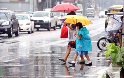
MANILA – The Typhoon Betty-enhanced southwest monsoon (habagat) will dampen several parts of the country in the next three days, the weather bureau said Monday.
In a public briefing, Philippine Atmospheric, Geophysical and Astronomical Services Administration (PAGASA) officer in charge Esperanza Cayanan said intense rainfall is not expected.
"However, rains will be experienced over the western sections of the Visayas and Mimaropa, and Southern Luzon from today, particularly tomorrow. Possibly by Wednesday, the western section of Central Luzon, and Metro Manila could experience rains but not too intense," she said.
In an advisory issued at 11 a.m., PAGASA said the enhanced southwest monsoon is forecast to bring heavy rainfall over Occidental Mindoro and Antique from today until Wednesday.
From Wednesday through Thursday, heavy rains are also forecast over Occidental Mindoro, Antique, the northwestern portion of Aklan, the western portion of Romblon, and Calamian Islands.
Flooding and rain-induced landslides are possible, especially in areas highly susceptible to these hazards, as well as in localities that had considerable amounts of rainfall for the past days.
Cayanan said Betty is forecast to exit the Philippine Area of Responsibility (PAR) by Friday.
"It is moving slowly and almost stationary. It might stay longer in the northeastern portion of Basco, Batanes," she said.
Betty, which packs maximum sustained winds of 155 kilometers per hour near the center and gustiness of up to 190 kph, was last tracked 470 km east of Aparri, Cagayan or 475 km east of Calayan, Cagayan.
It is moving northwest at 15 kph. Minor to moderate impacts caused by gale-force winds are still forecast over Batanes and the northeastern portion of Cagayan (Santa Ana, Gonzaga) including Babuyan Islands, where Signal No. 2 is hoisted.
Strong breeze to near gale strength winds will prevail over areas where Signal No. 1 is hoisted: the rest of mainland Cagayan, Isabela, Apayao, Ilocos Norte, Abra, Kalinga, Mountain Province, Ifugao, the northern and central portions of Aurora (Dilasag, Casiguran, Dinalungan, Dipaculao, Baler), Quirino, the northeastern portion of Nueva Vizcaya (Kasibu, Quezon, Solano, Bagabag, Diadi, Villaverde, Bayombong, Ambaguio), the northern portion of Catanduanes (Caramoran, Viga, Gigmoto, Panganiban, Bagamanoc, Pandan), the northeastern portion of Camarines Sur (Caramoan, Garchitorena, Lagonoy, Tinambac, Siruma), Pollilo Islands, the northern portion of Camarines Norte (Vinzons, Paracale, Jose Panganiban, Capalonga, Talisay, Daet, Mercedes, Basud) and the northern and central portions of Ilocos Sur (Gregorio del Pilar, Magsingal, San Esteban, Banayoyo, Cervantes, Burgos, Santiago, San Vicente, Santa Catalina, Lidlidda, Nagbukel, Sinait, Sigay, San Ildefonso, Galimuyod, Quirino, City of Vigan, San Emilio, Cabugao, Caoayan, San Juan, Santa, Bantay, Santo Domingo, Santa Maria, Narvacan, Salcedo, City of Candon).
Cayanan said Betty may weaken into a tropical storm by Thursday or Friday while heading outside PAR.
She also clarified that PAGASA has not declared the onset of rainy season yet, saying the rain showers in some areas are due to isolated thunderstorms. (PNA)
