(Image taken from PAGASA website)
MANILA – Typhoon Jenny has left the Philippine Area of Responsibility (PAR) on Thursday afternoon, but a new low pressure area (LPA) is being monitored by the weather bureau.
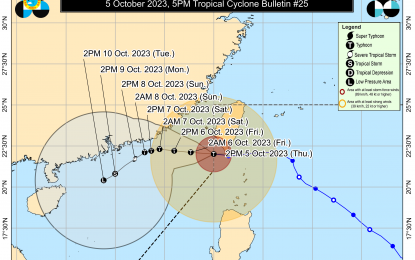
Jenny slightly weakened and was last tracked 240 km. northwest of Itbayat, Batanes.
"It is still affecting some portions of Northern Luzon," said Philippine Atmospheric, Geophysical and Astronomical Services Administration (PAGASA) weather specialist Rhea Torres.
She added that the southwest monsoon will also cause rains and thunderstorms over parts of Luzon.
PAGASA forecast Jenny to cause stormy weather over Batanes, and rains with gusty winds over Babuyan Islands, Apayao and Ilocos Norte.
Scattered rain showers and thunderstorms due to the southwest monsoon or "habagat" will prevail over Metro Manila, Central Luzon, Calabarzon, and Mimaropa.
Moderate to heavy rains in those areas may result in flash floods or landslides.
The rest of the country will have fair weather with isolated rains caused by localized thunderstorms, Torres said.
Strong winds and rough seas will prevail over extreme Northern Luzon, while Northern and Central Luzon will experience moderate to strong winds and moderate to rough seas.
Elsewhere, winds will be light to moderate with slight to moderate seas.
Meanwhile, Torres said a new LPA was spotted outside PAR.
"There is no direct effect on any part of the country," she said.
Torres added that the LPA could enter PAR over the weekend. (PNA)
