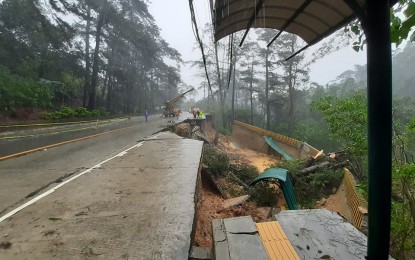
2021 landslide in Leonard Wood Road, Baguio City (Contributed photo)
BAGUIO CITY – The Mines and Geosciences Bureau (MGB) underscored the need for local governments’ participation in making vulnerability risk assessment maps for the benefit of their constituents.
Fay Apil, MGB Cordillera Administrative Region (CAR) director, said in a phone interview on Thursday that they have completed the hazard maps of 72 municipalities and the cities of Tabuk in Kalinga and Baguio.
She said only three of the 77 local government jurisdictions in CAR do not have complete hazard maps to date.
She emphasized that it is the LGUs’ responsibility to make sure their people safe.
“We have been pointing out the importance of these maps and many, if not most, of the executive would only see the maps once a calamity occurs and people’s lives have been lost,” Apil said.
MGB will organize events in coordination with the Department of the Interior and Local Government (DILG) to assure the attendance of the executive, legislative and salient offices as participants in the information and education campaign (IEC).
Apil said they have attempted to explain the maps earlier provided to the local government units (LGUs) but most of the time, the representatives sent were non-decision makers.
Thus, the team-up with the DILG to ensure that MGB will have the right audience for the life-saving information they will be providing.
“It is important that LGUs understand the value of the vulnerability risk assessment maps because it identifies what areas are landslide-prone, flood-prone and are possible sinking areas due to the nature of the underground soil,” he said.
She said the IEC is a must before they turn over the maps to the local governments so that the documents are not just set aside. (PNA)
