PAGASA website
MANILA – Tropical Storm Enteng (international name: Jangmi) slightly intensified and accelerated while moving northward towards southern Ryukyu Islands, the Philippine Atmospheric, Geophysical, and Astronomical Services Administration (PAGASA) said.
In its 11 a.m. severe weather bulletin, the weather bureau said Enteng is forecast to move at 45 kilometer per hour (km/h) near or over the southern islands of the Ryukyu archipelago and exit the Philippine Area of Responsibility (PAR) Sunday afternoon.
“Slight intensification remains likely but Enteng is forecast to remain as a tropical storm throughout the forecast period,” it added.
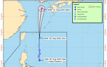
As of 10 a.m., the eye of the tropical storm was estimated at 540 kilometers (km) northeast of Basco, Batanes with maximum sustained winds of 75 km/h near the center and gustiness of up to 90 km/h.
While no tropical cyclone wind signal was issued, PAGASA warned that gusty conditions associated with the southwest monsoon may be experienced particularly in coastal and mountainous areas in the next 24 hours over Pangasinan, Benguet, Nueva Vizcaya, Quirino, Central Luzon, Metro Manila, Calabarzon, Mimaropa, Bicol Region and Western Visayas.
It also said the southwest monsoon enhanced by Enteng and a low-pressure area (LPA) west of Zambales will bring rains over Pangasinan, Benguet, Zambales, Bataan, Tarlac, and Mimaropa and occasional rains over Metro Manila, Aklan, Antique and the rest of Luzon.
The LPA, which was estimated at 210 km west of Iba, Zambales, remains less likely to develop into a tropical depression in the next 24 hours, the weather bureau said.
PAGASA advised the public and the local risk reduction and management officers to be on alert as it warned that the flooding and landslides may occur during heavy or prolonged rainfall especially in areas that are highly or very highly susceptible to these hazards.
It also warned that “sea travel” is risky over the seaboards of Pangasinan, Zambales, Bataan, western coasts of Batangas, Mindoro including Lubang Island, Palawan including Calamian Islands, Batanes, Cagayan including Babuyan Islands and Isabela “due to very rough seas”.
Enteng has intensified from tropical depression into tropical storm, PAGASA reported early Sunday. (PNA)
