(File photo)
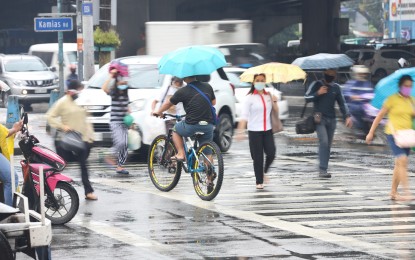
MANILA – Tropical Depression (TD) Maring has slightly intensified and is now causing rains over more areas in the Visayas, the weather bureau said Friday noon.
"Maring" now packs maximum sustained winds of 55 kilometers per hour (kph) near the center, and gustiness of up to 70 kph. It was last seen 495 km east of Catarman, Northern Samar, or 400 km east of Borongan City, Eastern Samar.
The TD moves southwestward at 15 kph.
Raymond Ordinario of the Philippine Atmospheric, Geophysical and Astronomical Services Administration (PAGASA) said "Maring" will bring light to moderate, to at times heavy rains over the Bicol region, Eastern Visayas, Caraga, Cebu, and Bohol.
Isolated scattered flooding and rain-induced landslides are still likely, especially in areas susceptible to these hazards.
No tropical cyclone wind signal was hoisted over any part of the country. PAGASA, however, said moderate to rough seas will continue to prevail over the seaboards of Luzon and the eastern and western seaboards of the Visayas and Mindanao.
Mariners are advised to take precautions, as these sea conditions are risky, especially for those using small seacraft.
Meanwhile, Ordinario said PAGASA is also monitoring two weather disturbances outside the Philippine Area of Responsibility (PAR).
The TD (formerly "Lannie") continues to move away from PAR. The other one, a low pressure area, has developed into a TD and was last tracked 1,805 km. east of central Luzon.
"This TD may enter PAR by Saturday, and will be named 'Nando'," Ordinario said.
He added that it is possible that either "Nando" or "Lannie" would weaken, and only one would be dominant. (PNA)
