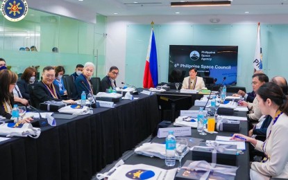
SATELLITE MAPPING. President Ferdinand R. Marcos Jr. said on Dec. 19, 2022 that he wants government agencies to maximize the use of satellite mapping to help improve their operations. Marcos broached the idea during his inaugural meeting with the Philippine Space Council which he chairs. (Photo courtesy of the Office of the President)
MANILA – The head of the Philippine Space Agency (PhilSA) has said the agency appreciates President Ferdinand R. Marcos Jr.'s support to the space sector as the government realizes that "space is part of the digital transformation."
"The President understands the value of these (space) technologies as important tools for nation-building," PhilSA Director General Joel Marciano Jr. told the Philippine News Agency (PNA) in an interview on Tuesday.
"Space is part of the country's digital transformation -- which not only involves digitizing records. The bigger picture involves the use and access of data, and data can come from space," Marciano said.
Marcos recently declared August 8 to 14 of every year as “Philippine Space Week” to promote space awareness among Filipinos. The observance will highlight the substantial influence of space science and technology applications on the socio-economic development of the country.
It can be recalled that Marcos has expressed his support for the development of MULA satellite, eyed for launch in 2025. The project is the biggest Earth observation satellite being built by the Philippines.
MULA satellite weighs 130 kilograms and carries a TrueColour camera capable of capturing around 73,000 square kilometers in 24 hours. Data from MULA are envisioned to contribute to the country’s food security, disaster resilience, environment conservation and national security.
Marciano said the Philippine Space Week will serve as an avenue to share the spotlight on the country's efforts in space technology and make the public realize the need to enhance capabilities to be at par with other countries.
"These technologies would help address challenges the country is facing," he added.
Earlier, he explained that space technology boosts the capability to address challenges on environmental protection, territorial integrity, disaster risk reduction and response, livelihood, productivity and resilience, which are all part of strengthening national security and development.
PhilSA on Tuesday inked agreements with different government agencies, such as the Department of Budget and Management (DBM), Land Bank of the Philippines (LBP), the Department of Science and Technology-Advanced Science and Technology Institute (DOST-ASTI), Mindanao Development Authority (MinDA), and the Department of Agriculture-Bureau of Fisheries and Aquatic Resources (DA-BFAR).
Called the DIME (Digital Information for Monitoring and Evaluation) project, the partnership with DBM seeks to improve the monitoring of government property and government-funded infrastructure projects with the use of data and images from satellites.
DIME aims to reduce costs on field-based validation activities, ensuring the proper use and expenditure of public funds.
On the other hand, PhilSA's partnership with the LBP and DOST-ASTI will use space data and analytics for financial applications. The three parties will use space-related technologies for financial applications; conduct joint research and exchange of information; organize training symposia, among others.
Meanwhile, PhilSA and MinDA will work on research and development projects to accelerate socio-economic development in Mindanao. Their collaboration, called PINAS (PhilSA Integrated Network for Space-enabled Actions towards Sustainability) Mindanao, will highlight the increasing relevance of geospatial data in local government policy-making, planning, and monitoring.
As for PhilSA's partnership with BFAR, remote sensing and data science applications will be used to enhance fisheries management. Satellite images will be used to support fisheries conservation.
Remote sensing is data-gathering about the earth's surface. Satellites with high-resolution camera are among the technologies needed in remote sensing. (PNA)
