(File photo)
MANILA – Typhoon "Bising" (international name Surigae) will continue to dampen Bicol Region and parts of the Visayas on Monday, the weather bureau said.
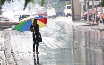
The Philippine Atmospheric, Geophysical and Astronomical Services Administration (PAGASA) said moderate to heavy, with at times intense rains will be experienced over Bicol Region, Northern Samar, Samar, Eastern Samar, Biliran, and Leyte.
"Bising" maintained its strength, packing a maximum sustained winds of 195 kilometers per hour near the center, and gustiness of up to 240 kph.It was last seen 250 km. east northeast of Virac, Catanduanes, moving north northwestward at 10 kph.
Tropical cyclone wind signal (TCWS) No. 2 has been hoisted over Catanduanes, the eastern portion of Camarines Sur (Garchitorena, Presentacion, Caramoan, Sagnay, San Jose, Lagonoy), the eastern portion of Albay (Tiwi, Malinao, Tabaco City, Malilipot, Santo Domingo, Bacacay, Rapu-Rapu, Legazpi City, Manito), and the eastern and central portions of Sorsogon (Castilla, Sorsogon City, Prieto Diaz, Gubat, Barcelona, Casiguran, Juban, Magallanes, Bulan, Bulusan, Irosin, Santa Magdalena, Matnog), Northern Samar, Samar, Eastern Samar, and Biliran.
TCWS No. 1 was hoisted over the eastern portion of Isabela (Divilacan, Palanan, Dinapigue), the northern portion of Aurora (Casiguran, Dilasag), the southeastern portion of Quezon (Guinayangan, Calauag, Tagkawayan) including Polillo Islands, Camarines Norte, the rest of Camarines Sur, the rest of Albay, the rest of Sorsogon, and Masbate including Burias and Ticao Islands, Leyte, Southern Leyte, and the northern portion of Cebu (Tabogon, Borbon, San Remigio, Bogo City, Medellin, Daanbantayan) including Bantayan and Camotes Islands, Dinagat Islands, Siargao Islands, and Bucas Grande Islands.
It added that tropical cyclone winds of at least strong breeze to near gale in strength extend outward up to 440 km. from the center of "Bising". Destructive typhoon-force winds extend outward up to 110 km. from the center of the typhoon.
In the next 24 hours, the northeasterly wind flow enhanced by "Bising" will also bring strong breeze to near gale conditions with higher gusts over most of northern Luzon, Aurora, and the rest of Quezon that are not under any TCWS.
Very rough to very high seas will be experienced over the eastern seaboard of Luzon, and rough to very high seas over the northern and eastern seaboards of Eastern Visayas. Sea travel is risky for all types of seacraft.
Rough to very rough seas over the northern and western seaboards of northern Luzon, and the eastern seaboard of Caraga, and rough seas over the remaining seaboards of localities where TCWS are in effect, and the eastern seaboard of Davao Oriental. Sea travel is risky for small seacraft, and mariners without the proper experience should immediately seek safe harbor, according to PAGASA.
Moderate to rough seas over the western seaboard of central Luzon. Mariners of small seacraft are advised not to venture out over these waters. Inexperienced mariners of these vessels should avoid navigating in these conditions, PAGASA said. (PNA)
